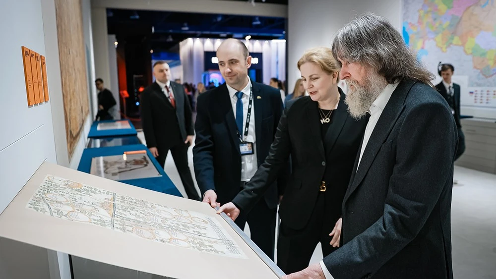
Rosarchive Head Andrei Artizov: the exposition "Geography Lessons" brings together geography, history and the stories of explorers
What did the world look like before the advent of satellites and navigation? This can be discovered at the National Centre RUSSIA at the exposition "Geography Lessons", which features rare maps and drawings from federal archives. These documents not only record geography and the course of battles, but also tell the stories of the people who discovered new lands and changed the course of history. This was explained by Head of the Federal Archival Agency (Rosarchive) Andrei Artizov.
"The exposition features dozens of archival documents. Of particular interest is the collection of Russian geographical drawings from the second half of the 17th century from the holdings of the Russian State Archive of Ancient Acts. It is a remarkable example of administrative and artistic work, as many of the authors of these drawings not only had extensive experience in describing lands, but also studied under icon painters," said Andrei Artizov.
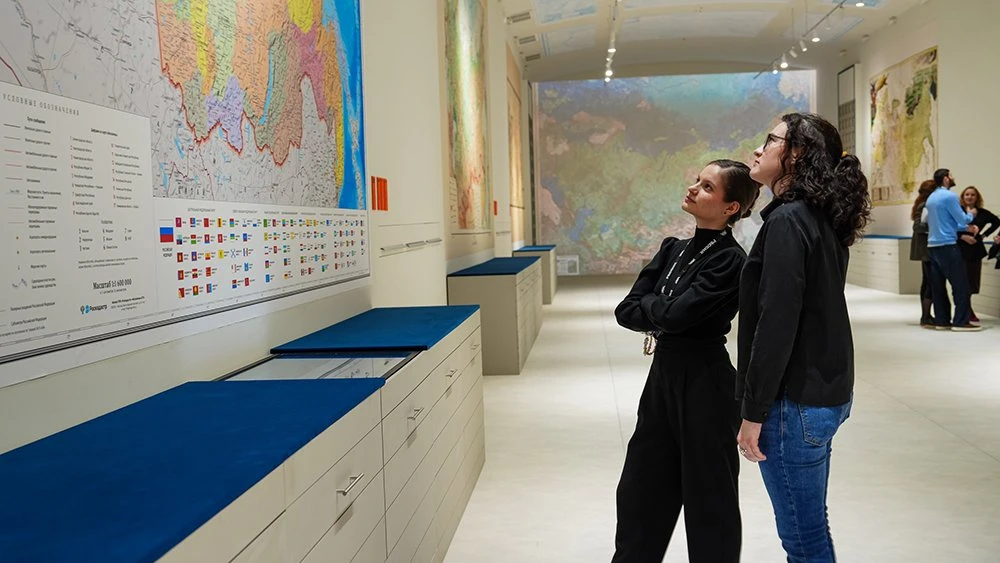
"Geography Lessons" is a large-scale project of the National Centre RUSSIA. It is a true journey through the centuries: from ancient scrolls to digital maps, from the first geographical discoveries to the exploration of space. The National Centre RUSSIA brings together unique cartographic treasures from the country’s leading collections, including the Russian State Library, the Russian Geographical Society, archives of the Ministry of Defence, as well as leading universities and research centres.
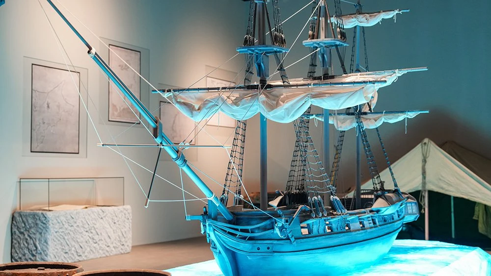
"Thanks to the documentary heritage of the Russian State Archive of the Navy, schoolchildren, as well as adult visitors, will be able to see maps and plans of land and naval battles of the 17th–18th centuries. Of particular interest are, of course, maps of geographical expeditions and circumnavigations, including the route of the First Russian Antarctic Expedition led by Thaddeus Bellingshausen. They testify to the hard work of explorers, illustrate changes in the state’s territory and the emergence of new geographical features," he added.
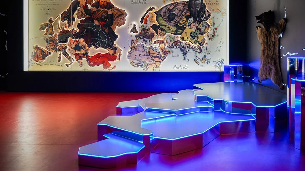
According to the Head of Rosarchive, those interested in geography and history will find it particularly engaging to study the materials presented on socio-political history, including digital copies of maps showing the situation on the fronts of the Great Patriotic War with notes by Joseph Stalin, including a map-plan of Berlin indicating the positions of the Red Army as of 29 April 1945 (from the personal archive of Joseph Stalin), as well as schemes of the besieged territory of the Leningrad Front in 1941–1942 and the "Road of Life" across Lake Ladoga.
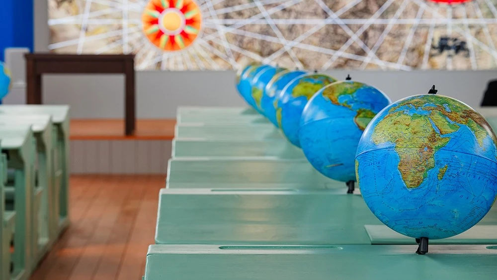
The exposition "Geography Lessons" is designed for a family audience, primarily schoolchildren aged 9–16 and their parents. It offers an opportunity to travel together from ancient maps to space globes, from imperial sleighs to high-speed trains, and to see how geography connects the past, present and future of the country.
The general partner of the project is the Russian Geographical Society. Among the key partners of the exposition are the Russian State Library, the State Historical Museum, the Polytechnic Museum, the Faculty of Geography of Lomonosov Moscow State University, the Moscow State University of Geodesy and Cartography (MIIGAiK), the Federal Archival Agency (Rosarchive), the Central Naval Library and other leading institutions. The technology partner is VK. The industry partner is the Roscosmos State Corporation. The general information partner is the magazine "Vokrug Sveta". Literary partners include AST Publishing House and Eksmo Publishing House.
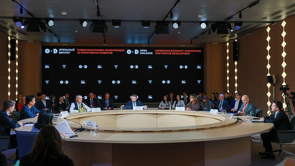
From 27 to 29 April, the National Centre RUSSIA will host the II Open Dialogue "The Future of the World. A New Platform for Global Growth".