
Khanty-Mansi Autonomous Area — Yugra

Yugra is the Russian North, a unique territory. There are magnificent cedar urmans (forests), divided by mighty wide rivers, where clear lakes hide in pine woods, gray mountains neighbor with boundless cranberry bogs. This is a harsh land of kind and sympathetic people. Centuries-old traditions, national character of the indigenous peoples of the North and modern technologies coexist here.
Khanty-Mansi Autonomous Area holds leading positions among the subjects of the Russian Federation in terms of industrial production, power generation, oil and gas production, volume of investment in fixed assets. Here the oil is produced - Yugra residents account for 5% of the world and 41.7% of the all-Russian oil production. Every 20th ton of oil produced in the world comes from Yugra. Yugra is the first among Russian regions in terms of electric power generation: more than 83 billion kilowatt-hours. Four regions of the Russian Federation use Yugra energy.
The region borders with six subjects of the Russian Federation at the same time. It is located in the zone of taiga forests and swamps. The relief of the region is diverse: there are plains, foothills and mountains on its territory. The highest points are Mount Narodnaya (1895 m) in the Subpolar Urals and Mount Pedy (1010 m) in the Northern Urals.
Two major rivers flow in the Khanty-Mansi Autonomous Area: the Ob (3650 km long) and its tributary the Irtysh (3580 km long). The branches of these rivers are also comparable to the major waterways. For example, the Bolshoi Yugan and Vakh (tributaries of the Ob) are compared to the Vistula and Oder. The Konda River, a tributary of the Irtysh, is comparable to the Rhine. Almost all rivers of the region have low flow velocity, characterized by spring-summer floods and overflows. One third of the county's territory is occupied by marshes. There are about 300 thousand lakes surrounded by swamps and forests.


Audio Guides
Аудиогид Ханты-Мансийского автономного округа — Югры «Путешествие по Югре»
1 minute 49 seconds
Аудиогид Ханты-Мансийского автономного округа — Югры «Путешествие по Югре»
41 seconds
Аудиогид Ханты-Мансийского автономного округа — Югры «Путешествие по Югре»
26 seconds
Аудиогид Ханты-Мансийского автономного округа — Югры «Путешествие по Югре»
1 minute 30 seconds
Аудиогид Ханты-Мансийского автономного округа — Югры «Путешествие по Югре»
26 seconds
Аудиогид Ханты-Мансийского автономного округа — Югры «Путешествие по Югре»
25 seconds
Аудиогид Ханты-Мансийского автономного округа — Югры «Путешествие по Югре»
44 seconds
Аудиогид Ханты-Мансийского автономного округа — Югры «Путешествие по Югре»
54 seconds
Аудиогид Ханты-Мансийского автономного округа — Югры «Путешествие по Югре»
55 seconds

Аудиогид Ханты-Мансийского автономного округа — Югры «Путешествие по Югре»
Аудиогид Ханты-Мансийского автономного округа — Югры «Путешествие по Югре»
Аудиогид Ханты-Мансийского автономного округа — Югры «Путешествие по Югре»
Аудиогид Ханты-Мансийского автономного округа — Югры «Путешествие по Югре»
Аудиогид Ханты-Мансийского автономного округа — Югры «Путешествие по Югре»
Аудиогид Ханты-Мансийского автономного округа — Югры «Путешествие по Югре»
Аудиогид Ханты-Мансийского автономного округа — Югры «Путешествие по Югре»
Аудиогид Ханты-Мансийского автономного округа — Югры «Путешествие по Югре»
Аудиогид Ханты-Мансийского автономного округа — Югры «Путешествие по Югре»
Interesting Facts
3D-tour
News

12.13.2023
New Year tree of the Khanty-Mansi Autonomous Area: tutchans with secrets and reindeer skins
The decoration of the Khanty-Mansi Autonomous Area's fir tree features real applied items that are made and used in their daily lives by the indigenous peoples of Khanty and Mansi.
11.23.2023
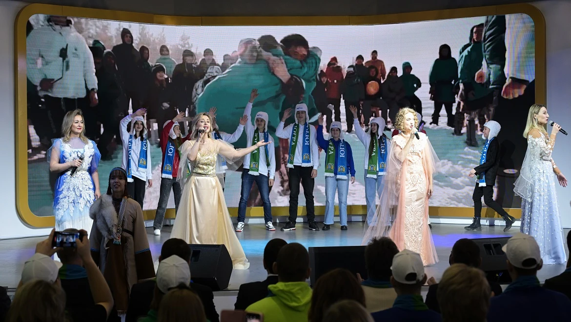
"We are part of a great country": Yugra spoke about its achievements at the RUSSIA EXPO
A wedding of indigenous peoples of the North, a photo zone with a mammoth and a colorful show with popular artists.

10.19.2023
Yugra will show neural network Vicky and a mammoth in ice at the RUSSIA EXPO
There are only 15 days left until the opening of the International RUSSIA EXPO. Khanty-Mansi Autonomous Area is preparing an impressive exposition.


