
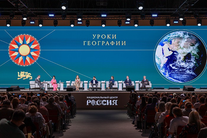
The ways technology is changing a school subject discussed at the Geography Teachers Forum at the National Centre RUSSIA
Schoolchildren
become accustomed to maps on their phones faster than to maps in an atlas,
while the volume of data about the planet changes before textbooks can be
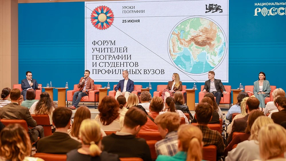
updated. Participants in the session "From Satellite Images to School Quests: How Advanced Technologies Are Transforming Geography Lessons",
held at the National Centre RUSSIA as part of the Forum of Geography Teachers
and Students of Specialised Universities, discussed how to connect this digital
world with geography lessons and make satellite images, AI and GIS part of
everyday school practice.
Sergei
Barinov, Head of the Laboratory of Modern School Geography and Local Studies at
the Faculty of Geography and Geoinformation Technologies of HSE University and
Candidate of Geographical Sciences, spoke about how geographical science has
changed in recent decades.
"Our
ability to explore space has changed radically. The number of satellites, the
frequency of imaging and the quality of data mean that hourly imagery with a
resolution of up to 30 centimetres has become the minimum standard of modern
geography. This is literally changing geographers’ way of life and the nature of
research," the expert noted.
Sergei
Barinov emphasised that the school geography curriculum can and should show
pupils the connection between maps, data and real management decisions made at
municipal, regional and national levels: "We are living at the beginning
of a golden age of geography. We can obtain a real-time model of an area and
show schoolchildren in class what is happening around their homes right now. To
take advantage of this, we need the number of young people choosing geography
to increase severalfold — over the next decade, geographers will be
indispensable."
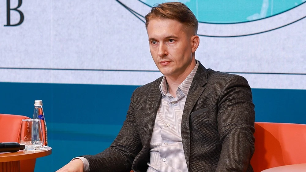
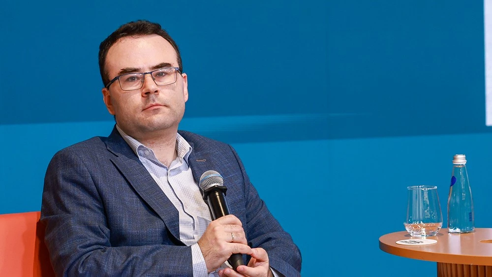
Continuing
the discussion of the digital shift, Mikhail Krinitsky, Head of the Laboratory
of Machine Learning in Earth Sciences at the Moscow Institute of Physics and
Technology, Associate Professor at the Faculty of Geography and Geoinformation
Technologies of HSE University and Senior Researcher at the Shirshov Institute
of Oceanology of the Russian Academy of Sciences, presented a report on the
different aspects of artificial intelligence in Earth sciences. He demonstrated
how AI is already being used to process satellite images, monitor changes in
landscapes, forecast hazardous natural phenomena and analyse scientific texts.
"Earth
sciences today are primarily data sciences. The volume of satellite and model
data is growing so rapidly that it is simply impossible to process without
artificial intelligence. The task of schools is not to teach specific
algorithms, but to show young people the path from raw satellite images to
clear maps and visualisations that help people make decisions in the real
world," Mikhail Krinitsky explained.
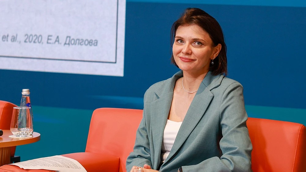
Yelena
Natarova, Marketing Director of TerraTech JSC, a subsidiary of the Roscosmos
State Corporation, presented the practical applications of space technologies.
She spoke about the flagship Digital Earth platform, which transforms remote
sensing data and the results produced by neural networks into ready-to-use
geoanalytics for government agencies and regions. It can be used both for
territorial management and in schoolchildren’s educational projects.
Sergei
Kutuzov, Head of the GeoSchool project, teaching methodology specialist and
geography teacher, presented the possibilities of using GIS services in
lessons. He noted that despite sustained interest in geoinformation
technologies within the professional community, they are still used in practice
by a relatively small group of enthusiasts.
"Nine
out of ten geography teachers acknowledge that geoinformation technologies are
interesting and useful, but only a few actually use them in school practice.
Our approach is to offer a simple, intuitive tool and ready-made content:
dozens of thematic maps covering the geography of Russia, different levels of
detail and ready-to-use demonstration scenarios. This makes it possible to
incorporate GIS not only into individual lessons but also into pupils’ project
and research activities," Sergei Kutuzov noted.
According
to Sergei Kutuzov, the GeoSchool platform is built on a professional web-based
GIS but has been adapted for users without specialist training, including
teachers and pupils. It also supports open participation in school trials.
The session
was moderated by Nikolai Kurichev, Dean of the Faculty of Geography and
Geoinformation Technologies at HSE University.
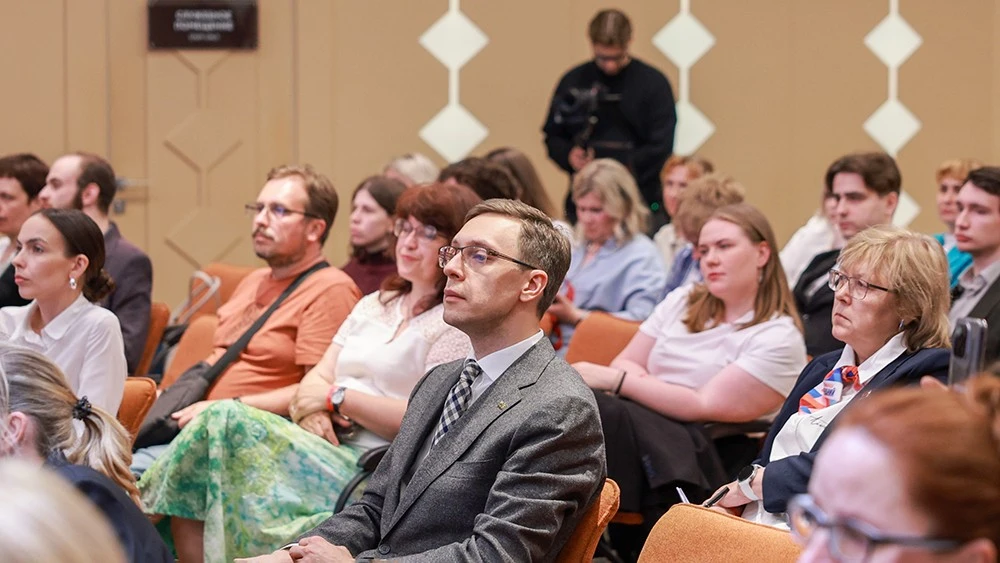
The Forum
of Geography Teachers and Students of Specialised Universities was held at the
National Centre RUSSIA on 25 June as one of the key events of the
"Geography Lessons" exposition. More than 800 people from all federal
districts took part in the forum, including schoolteachers, university
lecturers, students, teaching methodology specialists, school heads and
representatives of education authorities.
Event photobank


The special project "Bread and Love" is devoted to gastronomic traditions that unite hearts.

The National Centre RUSSIA creates educational, awareness-raising and creative projects so that as many children and young people as possible can find their vocation.
The expert was Vadim Ampelonsky, Development Director at Synergy Corporation, journalist, PR specialist and strategic communications expert.


